Hiking the Sugarloaf Path on the East Coast Trail in Newfoundland

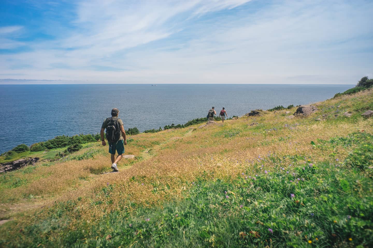
The crew who did all 10km!
If you’re coming to Newfoundland, more specifically St. John’s and planning to do a little hiking, I suggest you consider the Sugarloaf Path.
The ECT association rates this at a Moderate to Difficult, with a run time of 3-5 hours. Frankly, if you’re actually doing it to enjoy the fruits of your labor, it’s going to take 5 hours. I would suggest that going North to South is easier than vice versa, so if you’re looking to keep things a little easier, start from Marine Lab.
This is a one-way hike, two cars will be best but taxi from end to start, where you’ve left your car, wouldn’t be super expensive.
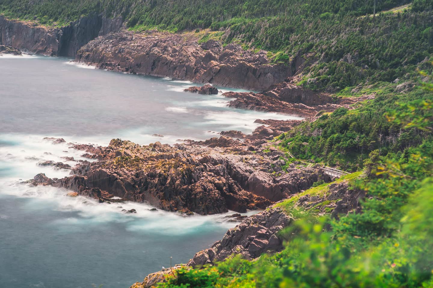
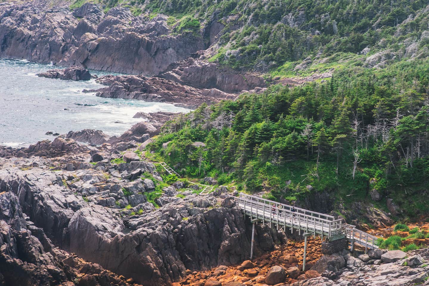
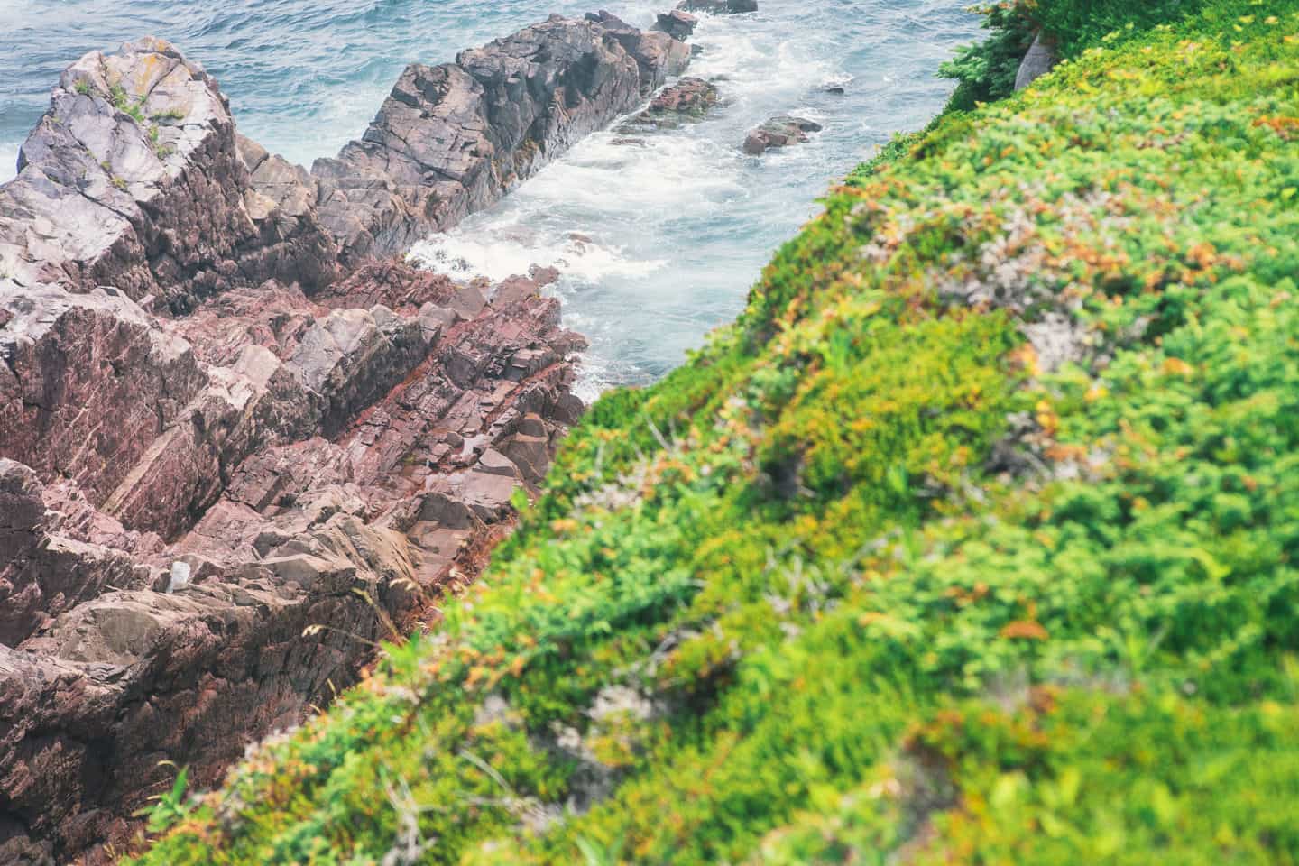
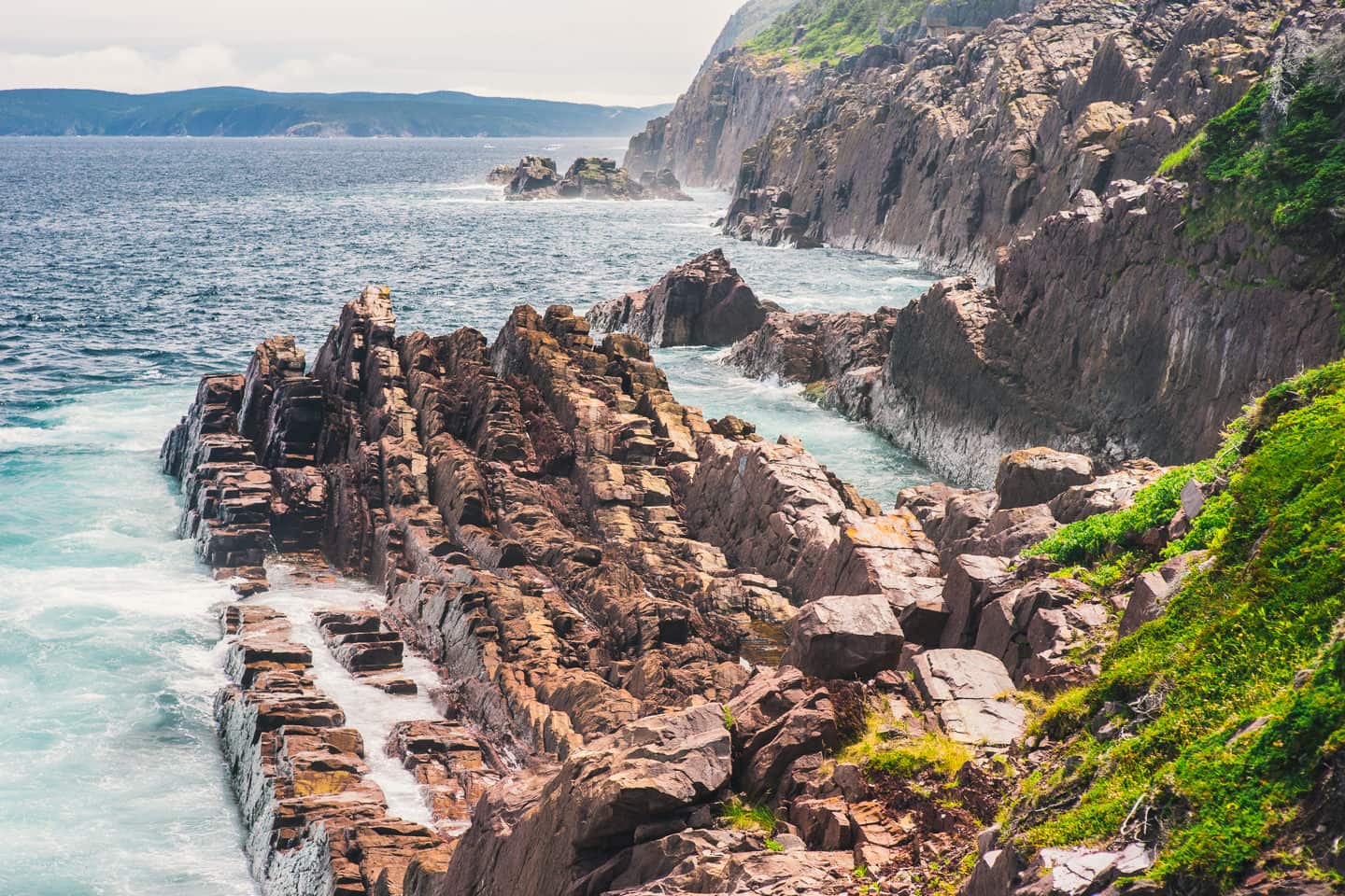
I really enjoyed a lot of the viewpoints and heights you get to experience on Sugarloaf Path. The trail is well hardened and easy walking, so you get to keep your head up a lot more, looking around and taking things in, than I have on some other trails. Also, it’s primarily a coastal trail. In fact, the only section where you spend a lot of time deep in the woods is as you pass under Robin Hood Bay landfill — believe me, you’ll know it when you get there.
If you like this post and want to see more of my hiking the East Coast Trail articles, check out my articles on Stiles Cove Path and Cobbler Path in the summer, or in the Winter both amazing sections of the East Coast Trail easily accessible if you’re based out of St. John’s, Newfoundland.
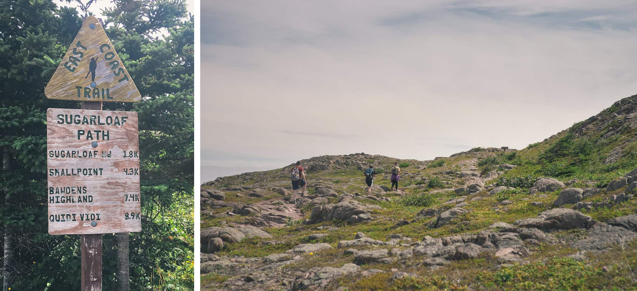
- The trail head from Marine Lab is arguably the easier start point. The climb to about 400ft elevation going this way is easier than it would be going North from the Quidi Vidi start point, where you’d be taking very big steps over big rocks/drops to get back up the mountain (which is easier going down than up imo). The marker shows Quidi Vidi at around 8.9k but with extra curricular activities it’s just as well to call it 10km.
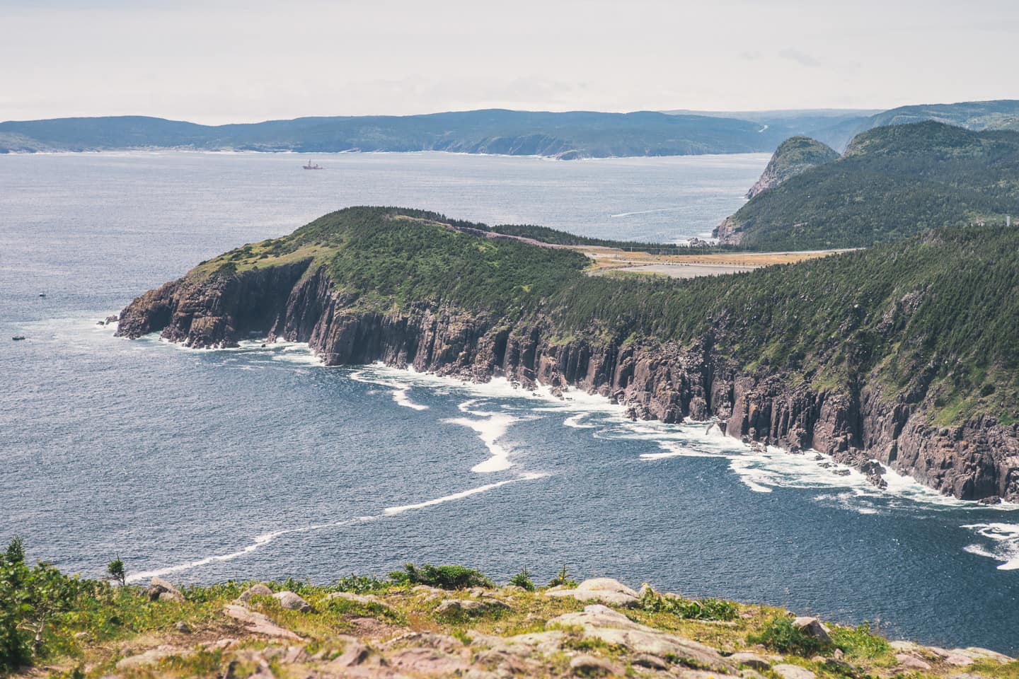
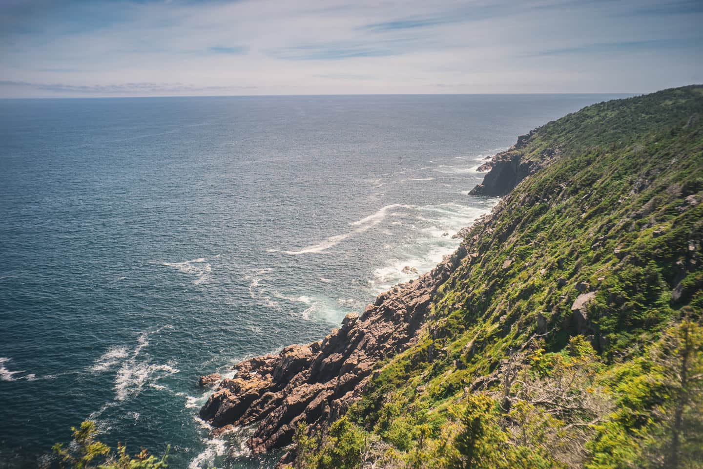
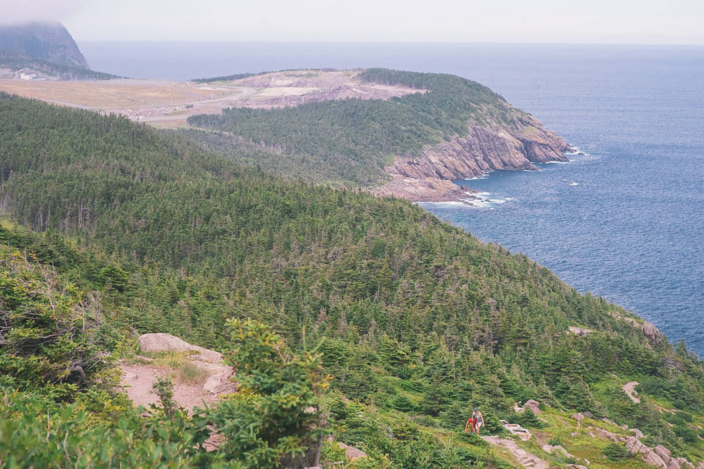
- In fact the elevation approaches 500ft in at least one section and though the cliffs might not give much scale when you look down over them, the proximity of the airplanes landing on runway 29 at St. John’s Internation, certainly will.
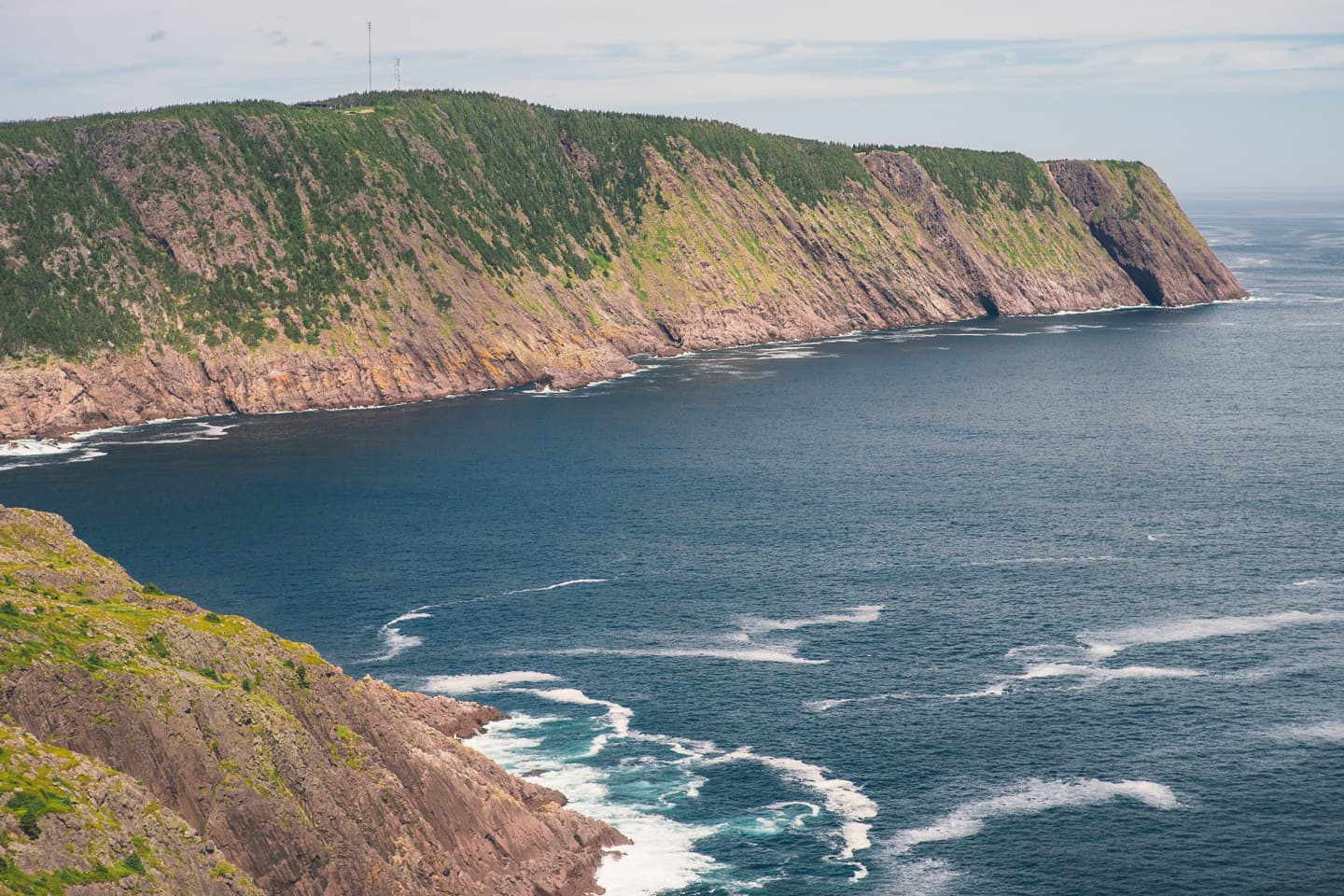
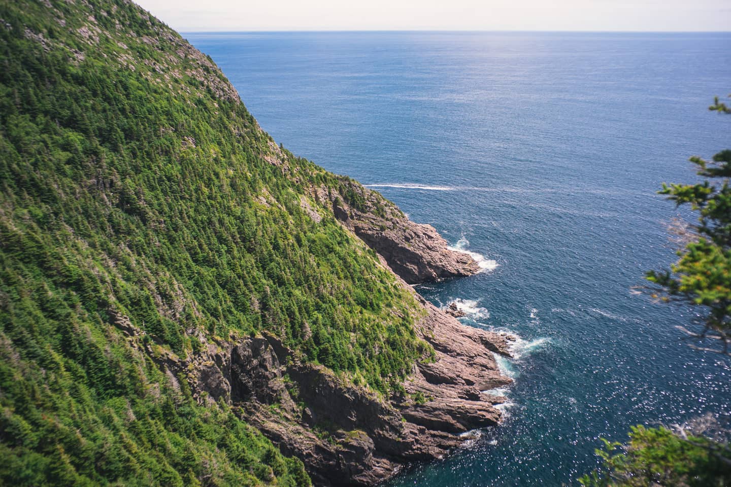
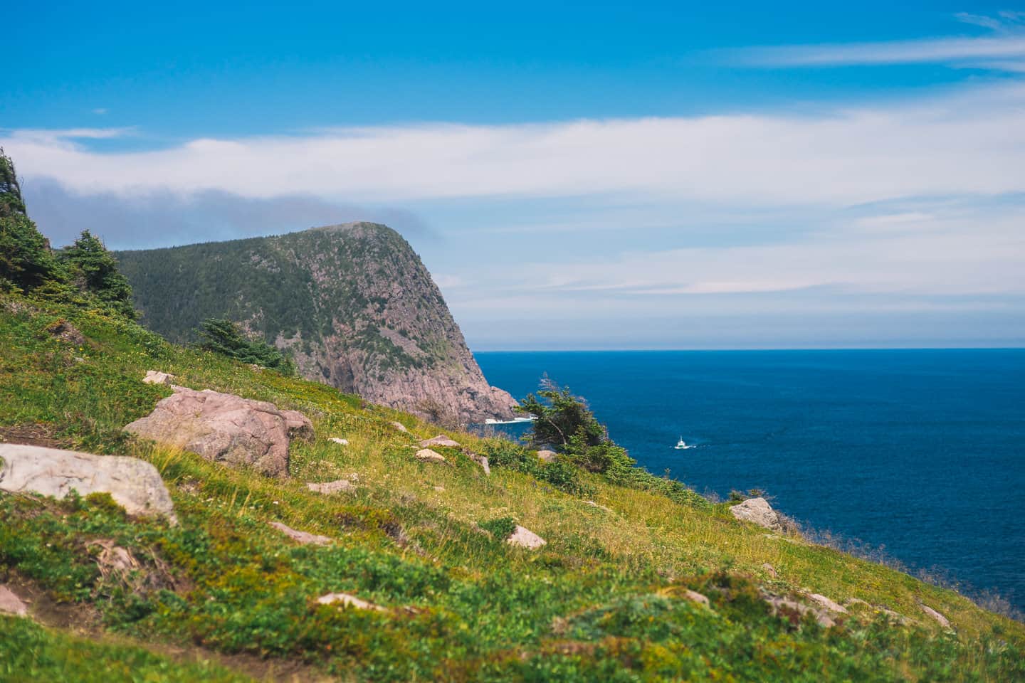
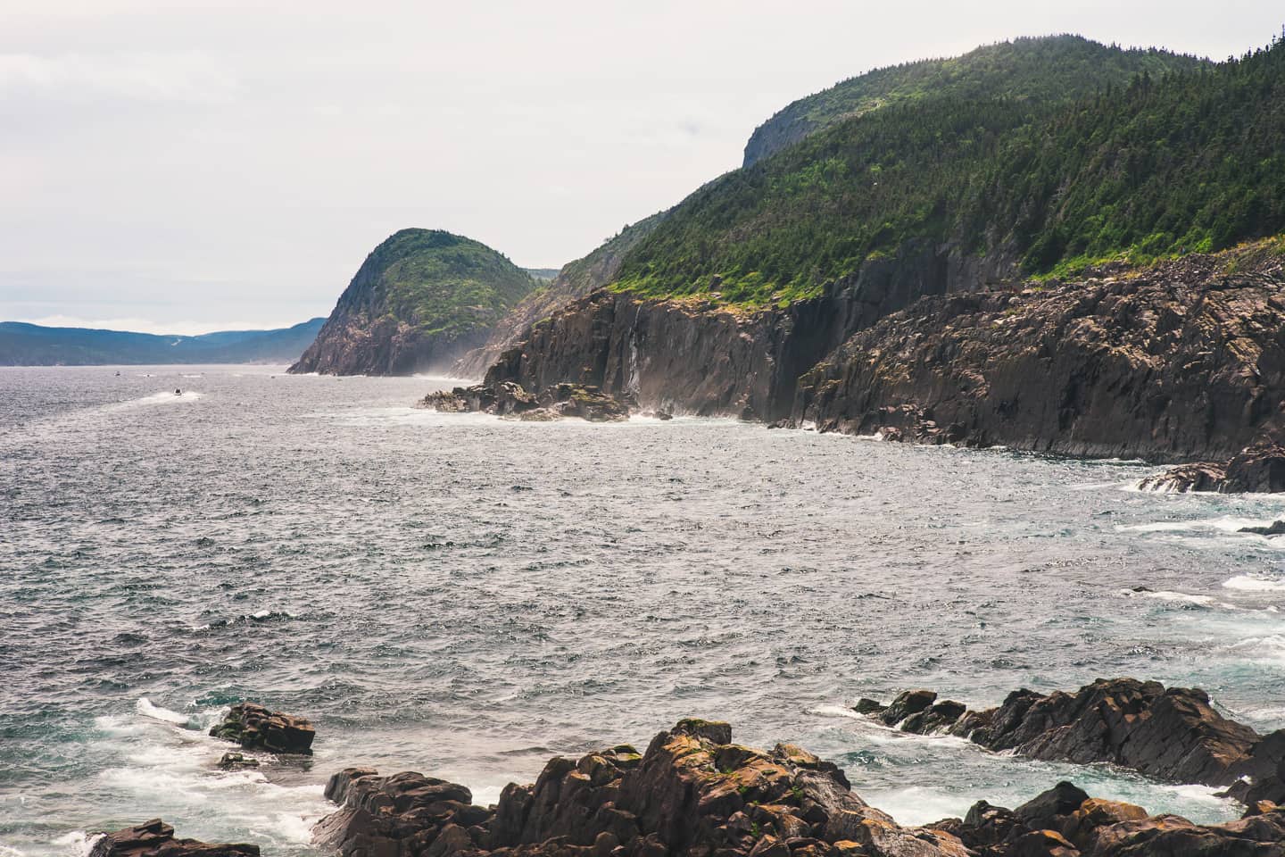
- This is looking North towards Red Cliff, the straight down vertical drop consumes my attention to no end.
- A panoramic of the entirety of Logy Bay.
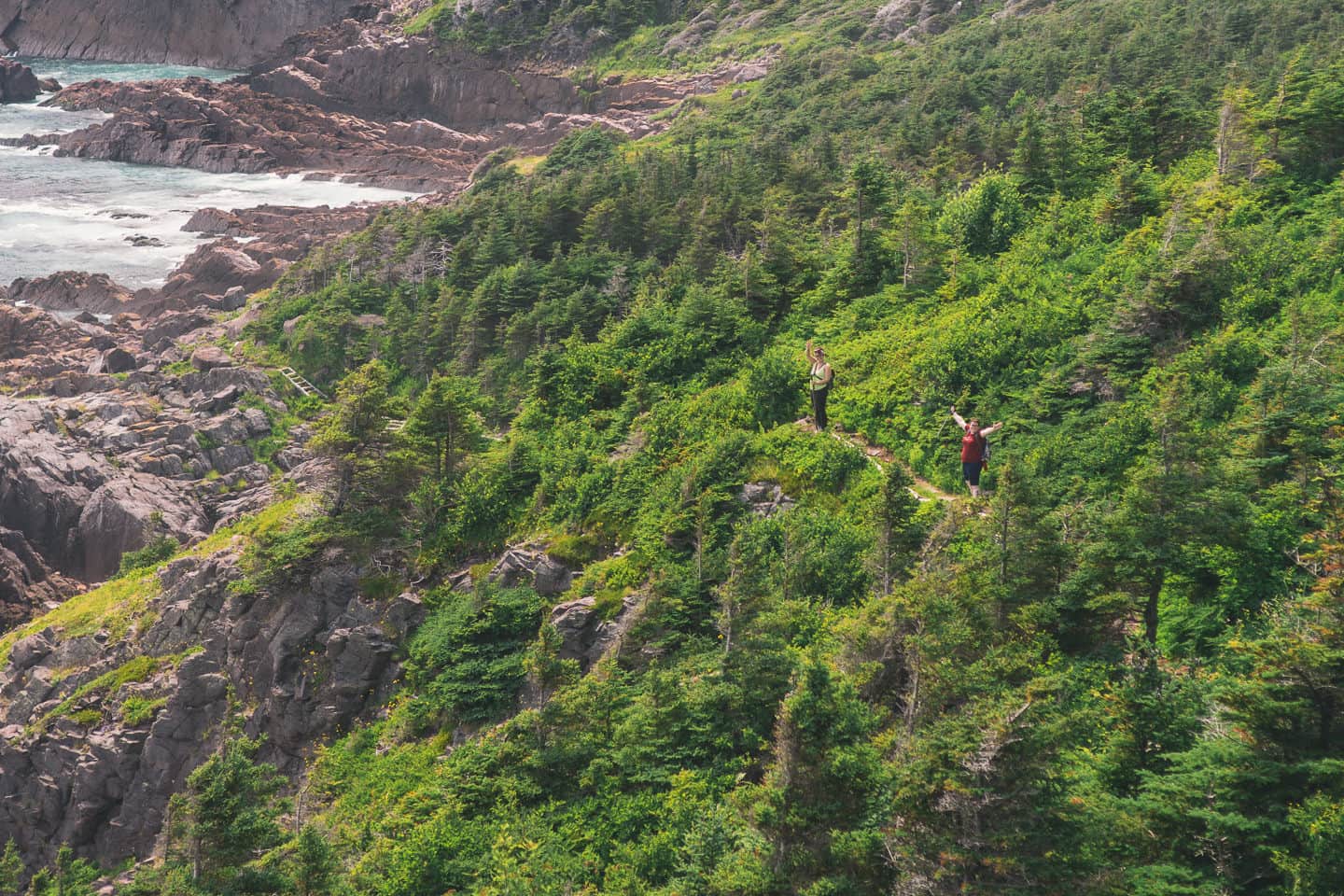
- Three of my hiking friends taking in our first big vista out over the ocean.
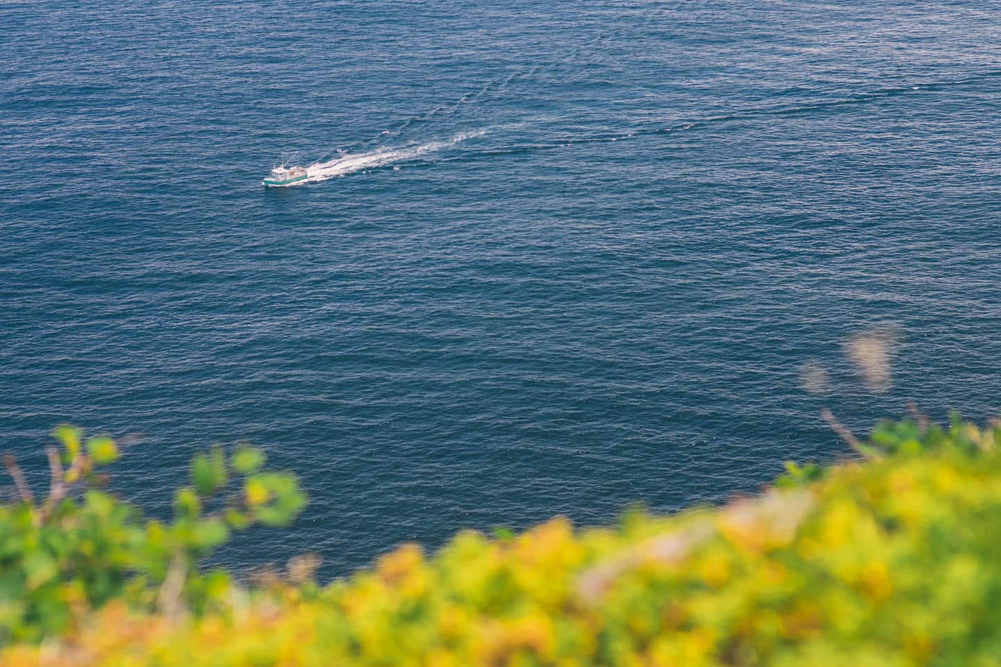
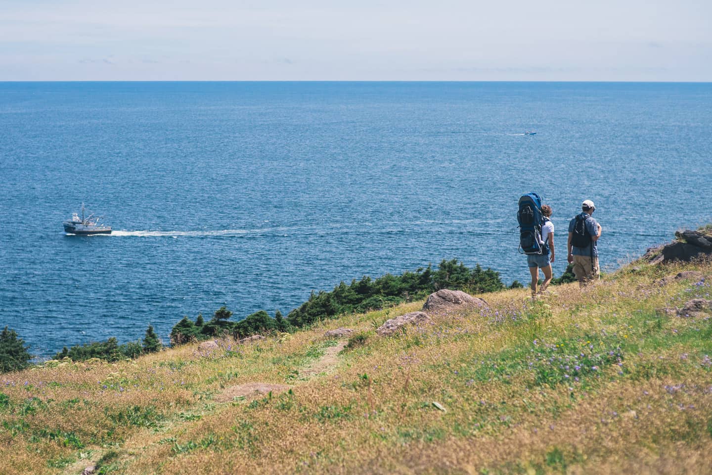
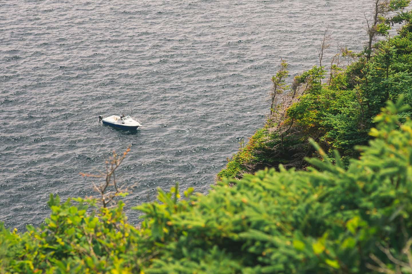
- The food fishier was on during our hike. Though the vastness of the ocean is something to appreciate, it’s fun to see a lot of boats out in the water.
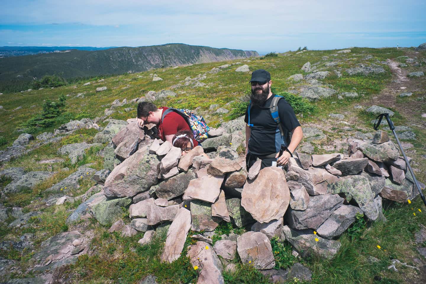
- Who built this and why, we may never know. But we stood in it. It was probably made for pooping. Actually, in all seriousness, if I had to guess, I’d suggest an eagle or another rarer bird once nested nearby and this was probably built up by a birder to enable easier and more covert photography.
- This is the area known as Robin Hood Bay, featuring Cuckholds Cove, Founder Rock and Green Gulch.
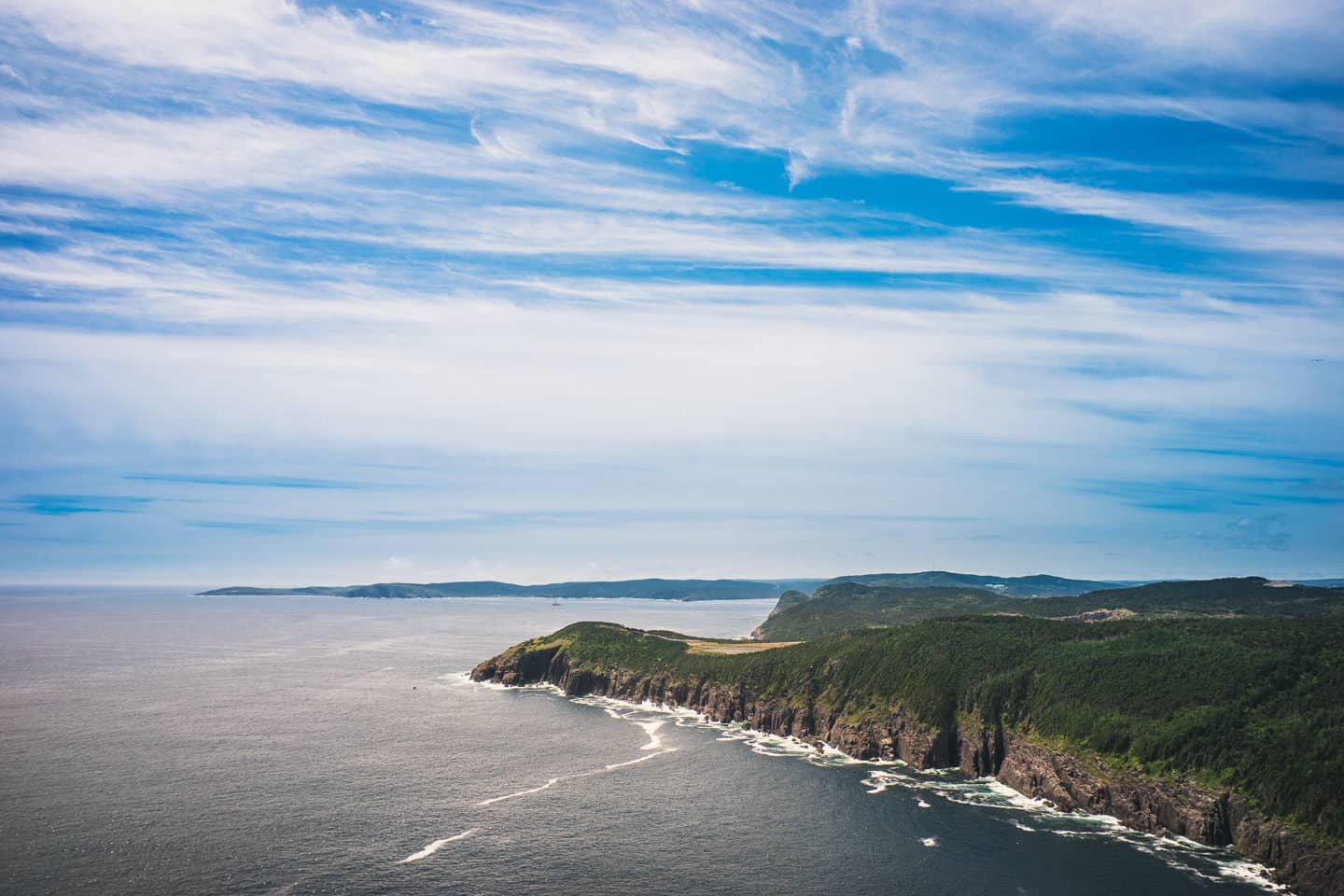
- The sky was white and blue, white then blue, back and forth all day as a high haze floated above us all day.
- This is Kristen chancing the cliff’s edge, and the life of her iPhone, leaning out over for a snap of the straight drop beneath us.
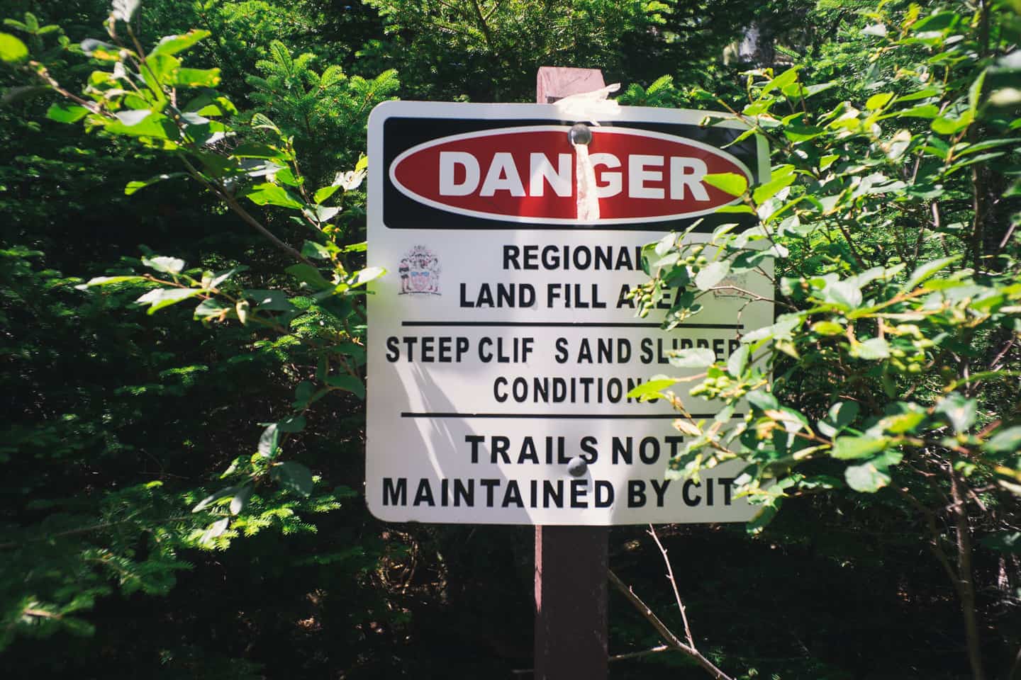
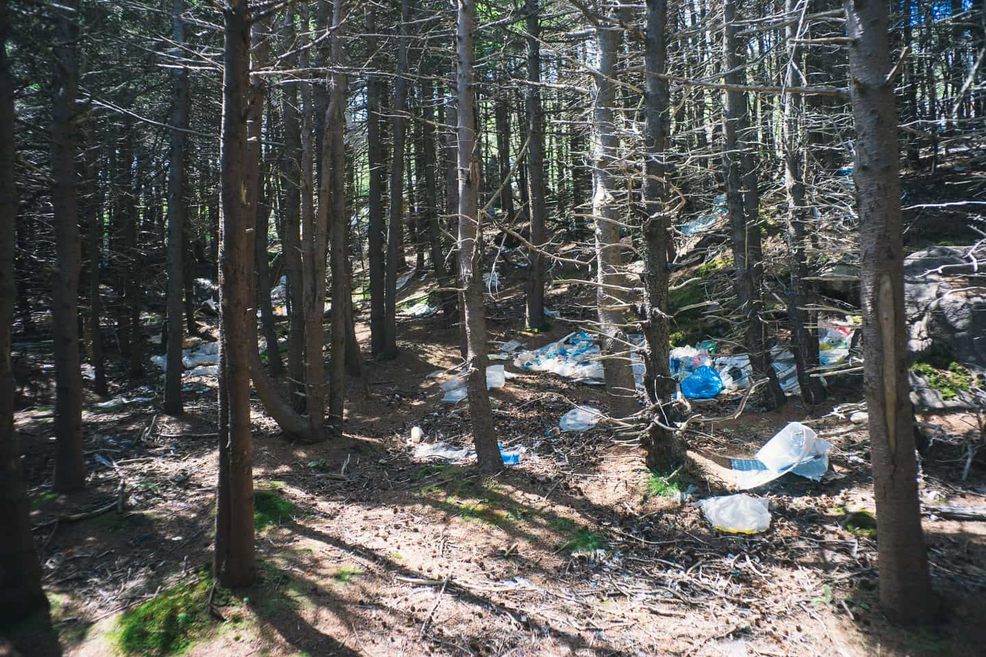
- This is probably the only negative of the Sugarloaf Path and probably one of the saddest things you’ll see on the ECT. Unfortunately, there’s no way around the dump, which for some reason was placed next to the ocean (probably in hopes half of what was dumped would just fly into the drink, well it’s working).
- The amount of plastic that lines the forest floor and is caught in the trees like Halloween ghosts is surprising. It was endless, for nearly 2km’s as we trudged through the forest, seeing garbage around every bend in the path. Supposedly, volunteers for ECT pick this up, which I think is wrong given that this is a municipal problem. The City of St. John’s should be charged with the removal of this. I do believe, however, that the Robin Hood Bay dump has gotten better in the past 5 years since they changed how the dumping process works, but it doesn’t matter — if the wind blows east, the garbage will go with it and eventually wind up across the East Coast Trail in this area.
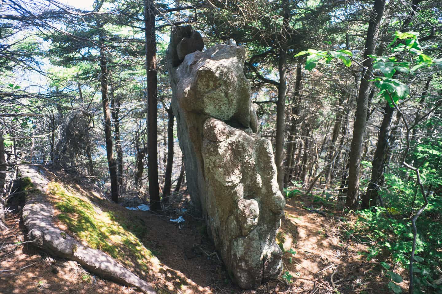
- This big rock was so randomly placed here in this position I couldn’t help but take a picture of it. How it got here, I don’t know. But if you found yourself ever stuck on this segment of the ECT in horrible weather, it would be a fine spot to take refuge.
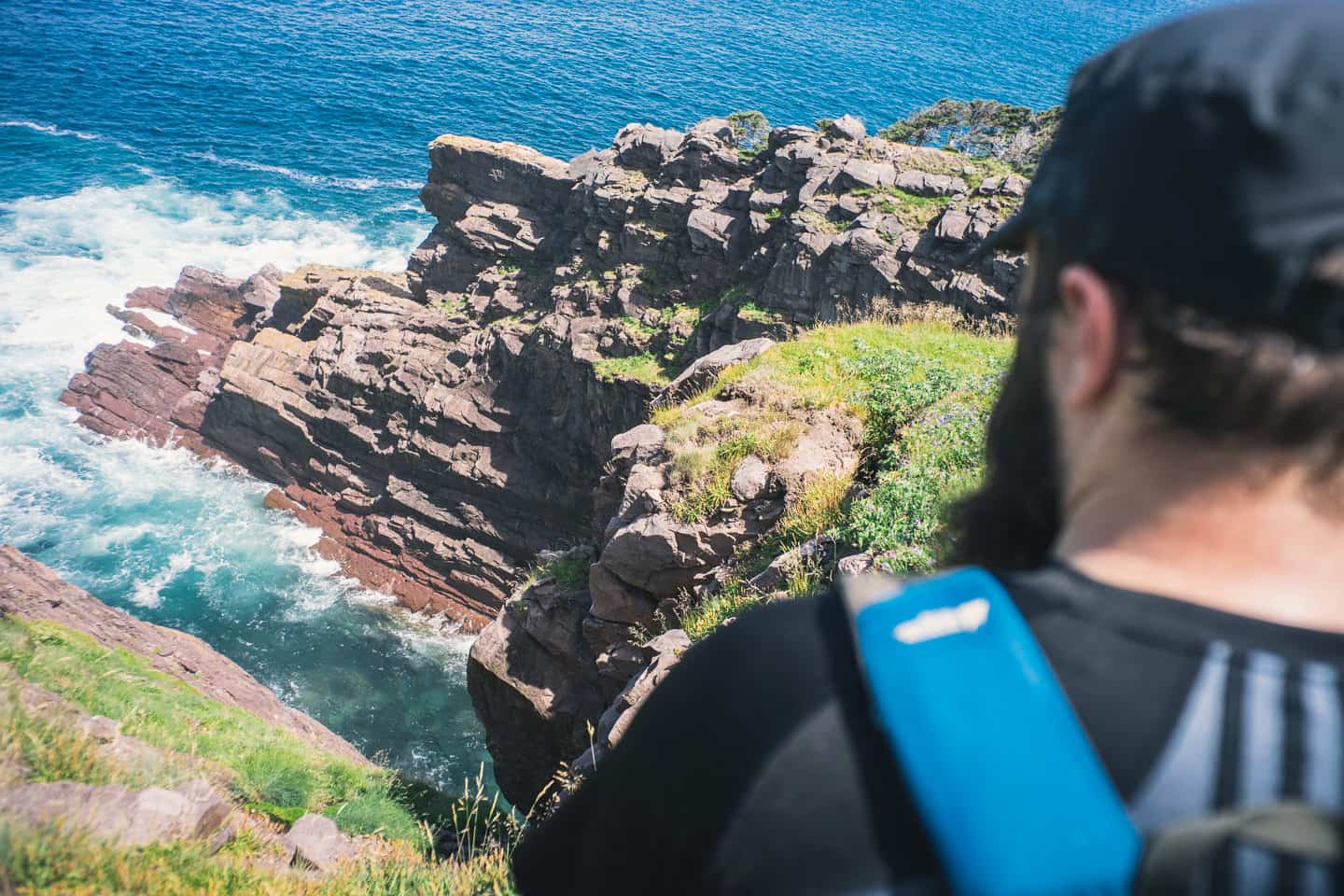
- Steve sizing up the drop into the ocean.
- This coastal meadow opens up around the 4.5km mark and is a perfect place to take lunch if you happen to be passing through on a warm day.
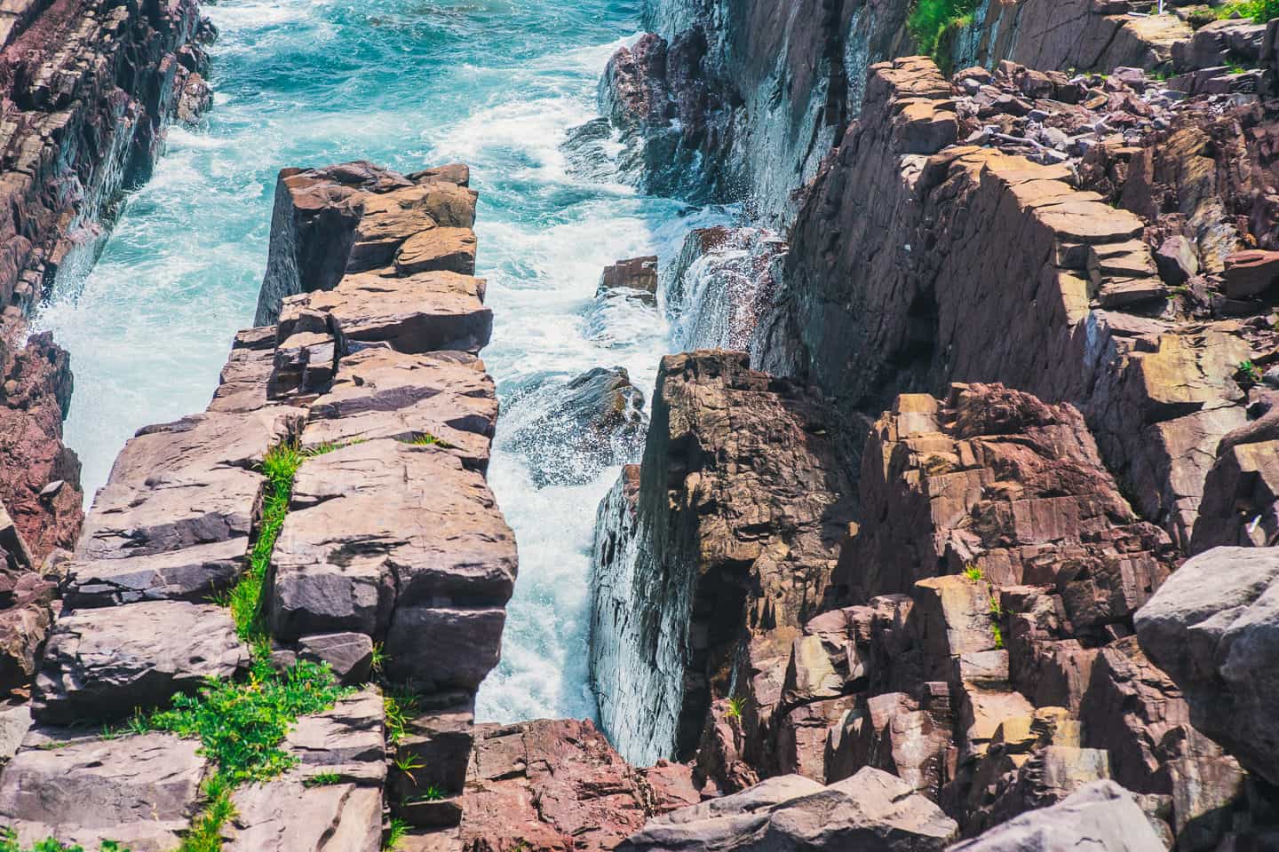
- This is known as the Skerries. Not my best work, given the wind blowing my camera around for the long exposure but it will give you an idea of the ocean crashing against the rocks here.
- A whale! Lots of them actually, we had a great time whale spotting every time we were hiking the coastal edge.
- Looking back from where we came. The first pictures of this article were taken on the now rather foggy peak in the very top right corner of this picture.
- Finally approaching the end, just over this rise lays Quidi Vidi and a tremendous view of St. John’s, Newfoundland.
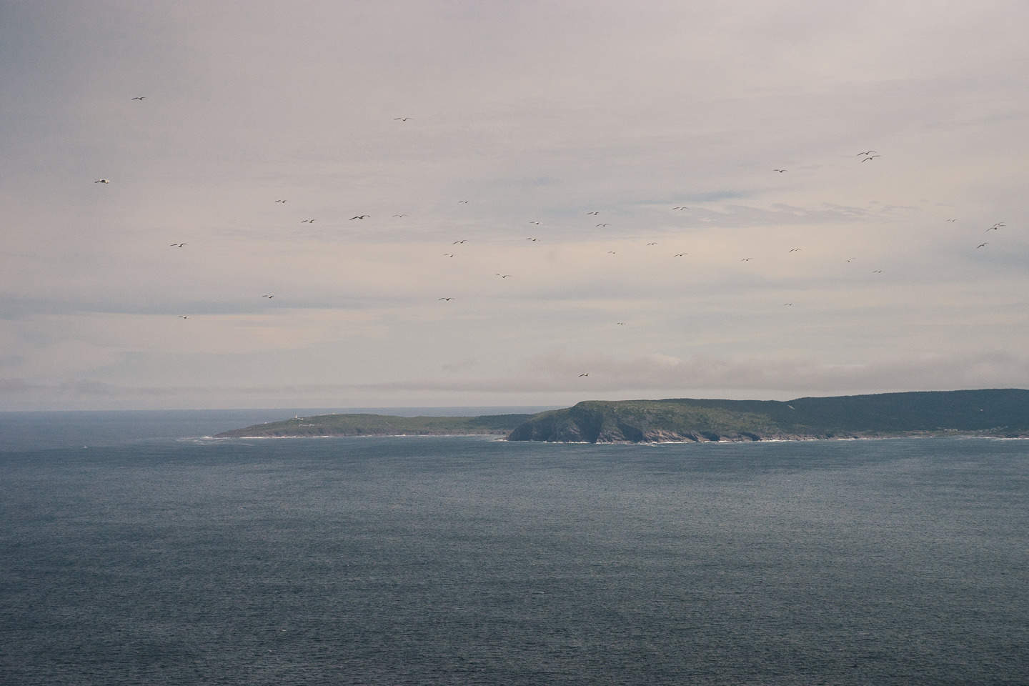
- Cape Spear from the Sugarloaf Path.
- A couple and their pooch take in the fabulous view of Quidi Vidi Lake and the city of St. John’s.
- Our final break before the climb down this rather large mound of rock.
- Steve taking in the bay and Quidi Vidi.
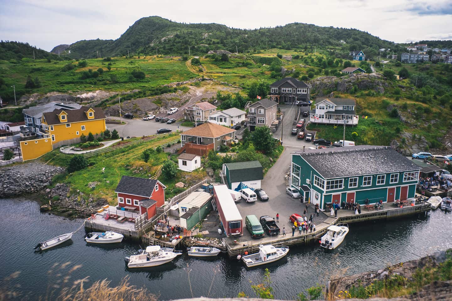
- Quidi Vidi was hopping while we were there. With a wedding, a huge party and a bunch of people having a fish fry. Really nice to see!
- Finally, it wouldn’t be an article about Quidi Vidi without the most cliche picture of Quidi Vidi ever. :) I hope you enjoyed this. I encourage anyone who hikes to take the time to do this route from Marine Lab to Quidi Vidi, aka Sugarloaf Path on the East Coast Trail.

